How Drone Cameras Are Revolutionizing in Various Sectors?

Drones are the best solutions in different sectors. Since these have the utmost features and capabilities that are difficult or impossible by humans. One of the top features is the advanced cameras. These help in providing versatile and advanced imaging. Drone cameras help in different sectors to transform the approach to every task. Here is how drone cameras revolutionizing in various sectors.
1. Agriculture:

Drone cameras revolutionizing the agriculture sector with modern farming capabilities. Here are the detailed points on how these drone cameras are the best for farming and crop yields:
Better agriculture:
Advanced cameras with drones can capture high-resolution images that help farmers in crop monitoring. Through it, they can monitor or detect any health or disease issues and also check the soil condition. Moreover, it also effectively sprays water and fertilizers in the field.
Field mapping:
Drone cameras can help in planning the planting strategies with detailed aerial maps. It can support the management of irrigation systems for more efficiency.
Crop yield analyzing:
Drone imagery can be used to estimate crop yields. It helps farmers to check how accurate crop yields are for better planning and resource usage.
2. Fire fighting:

Thermal imagining:
The drone camera for fire control is a thermal screening camera. These help in accurately checking the fire area and fire spread. Traditionally, smoke covers the area and hides the details of fire spread.
Easy combusting:
Cameras in drones help in the successful and easy combusting of fire. These can help in managing the controller and combusting the fire successfully by throwing the fire extinguisher ball on the accurate area.
Hotspots:
Thermal screening can also support spotting the fire hotspot to successfully combust the fire without manpower or firefighters.
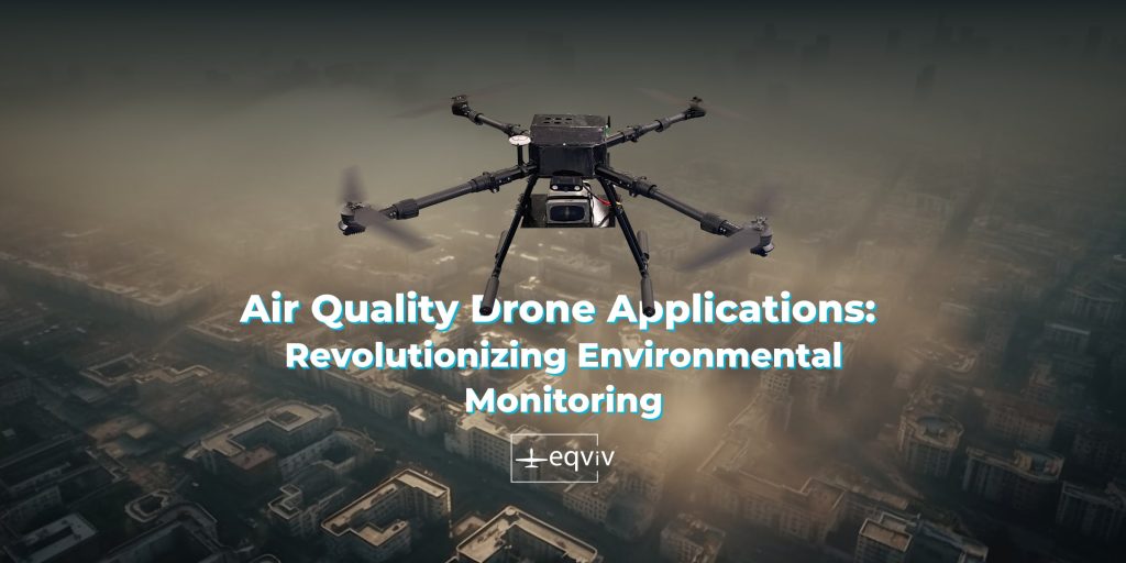
3. Air quality monitoring:

Air pollution hotspots:
Drone cameras can help in monitoring and knowing the air pollution hotspots to work effectively in a particular location for air pollution control or management.
Sources monitoring:
Cameras in drones can effectively monitor the air pollution sources in the area. It helps in knowing the actual point in the location to work on the control.
Exposure protection:
No human intervention is needed with the drone that helps the air pollution exposure.
4. Construction and Infrastructure

In the construction and infrastructure sectors, drone cameras are enhancing project efficiency and safety:
Site Surveys:
Cameras in drones provide aerial views from construction sites. It helps in facilitating the site surveys and topographical mapping accurately for better planning and monitoring.
Progress Monitoring:
It can also help in checking the project management with real-time construction progress tracking. Moreover, managers can identify any potential issue and make the informed decision.
Safety Inspections:
Drones can easily inspect hazardous areas like bridges or high-rise buildings and can be used to monitor without human intervention.
5. Emergency Services and Public Safety:

Drones have advanced cameras that support emergency services:
Search and rescue:
Drones can cover large areas easily and offer real-time videos and images to locate any person or region with disasters.
Timely response:
These can help in assessing damage and knowing hazards during any natural disaster like earthquake, flood etc. for effective response.
6. Environmental Monitoring:

Drones can support environmental monitoring as well through data gathering and monitoring:
Wildlife monitoring:
Drones have the best capabilities to capture wildlife with high resolutions. It can help researchers with population and behavioural monitoring without disturbing or any human contact.
Ecosystem mapping:
Drones can work with aerial surveys for mapping and studying various ecosystems. It helps in efforts for ecosystem conservation and management.
7. Surveying and Mapping

Drones with cameras can help in professional surveying and mapping for better efficiency and accuracy:
Surveys:
These can be used for the detailed topographic maps for the better planning and development projects. It can include any planning like road construction or any site development.
Mining industries:
Drones can help in mining operations for large sites for surveys and monitoring excavating progress and also ensure safety.
Urban Planning:
These support in urban planning the data collected by drones to analyze land patterns, new-development impacts and new plans projection.
Conclusion
Drone cameras are revolutionizing in various sectors that support them to grow better. It helps by providing high-resolution imagery, real-time data and hard-to-reach areas accessing. Various sectors can get help with drones for better safety, efficiency and decision-making. Through these, various sectors can thrive the top success for top service and results.