Different Applications
EQVIV drones are used for various purposes.
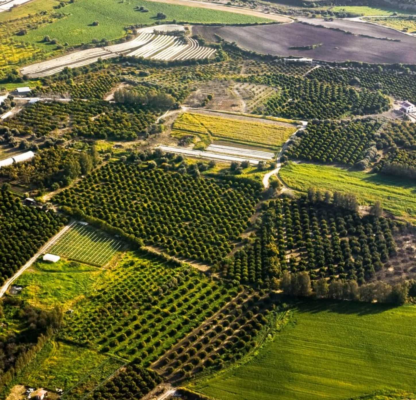
Agriculture Industry ![EQVIV Drone Applications: Unlocking Aerial Potential 2 arrow](data:image/svg+xml;nitro-empty-id=NDczOjE3Ng==-1;base64,PHN2ZyB2aWV3Qm94PSIwIDAgOTggMzQiIHdpZHRoPSI5OCIgaGVpZ2h0PSIzNCIgeG1sbnM9Imh0dHA6Ly93d3cudzMub3JnLzIwMDAvc3ZnIj48L3N2Zz4=)
Drones are empowering farmers with precision monitoring capabilities that enhance crop health and productivity.
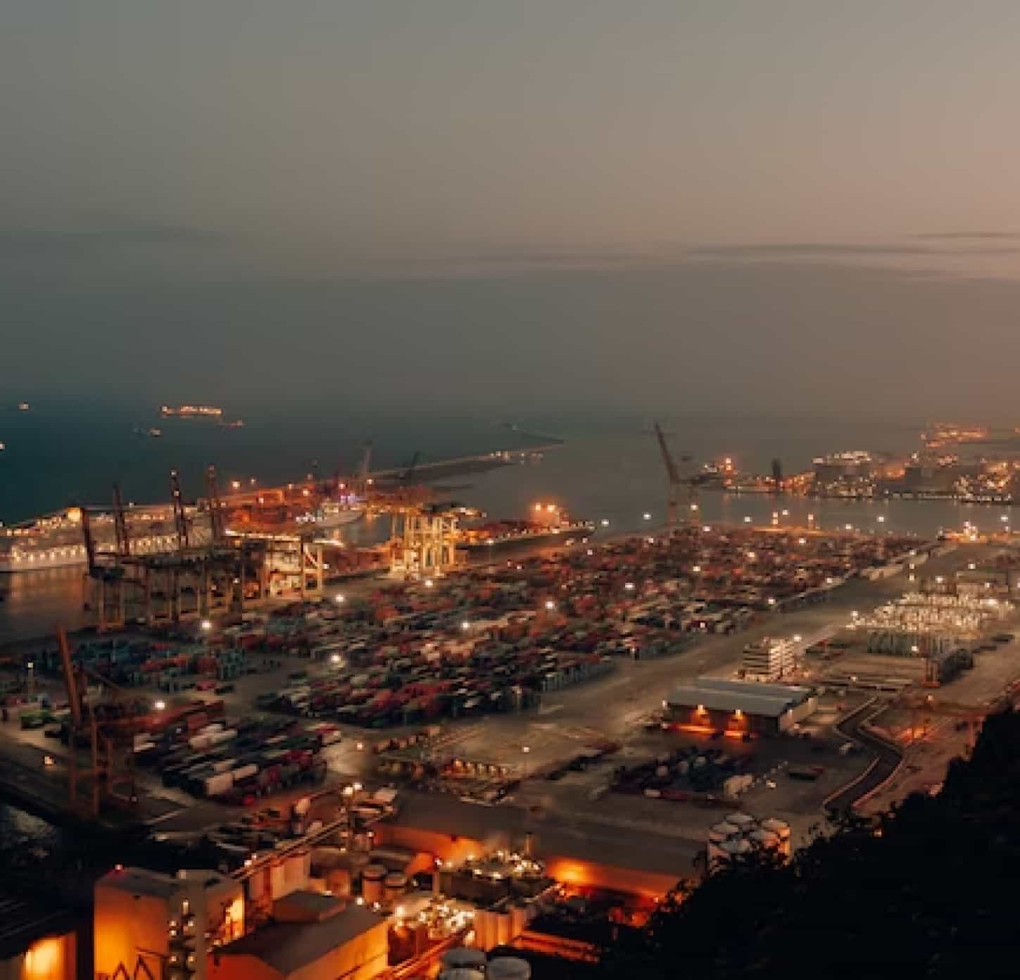
Logistics Industry ![EQVIV Drone Applications: Unlocking Aerial Potential 2 arrow](data:image/svg+xml;nitro-empty-id=NDg2OjE3NA==-1;base64,PHN2ZyB2aWV3Qm94PSIwIDAgOTggMzQiIHdpZHRoPSI5OCIgaGVpZ2h0PSIzNCIgeG1sbnM9Imh0dHA6Ly93d3cudzMub3JnLzIwMDAvc3ZnIj48L3N2Zz4=)
EQVIV drones are transforming the logistics industry by enabling efficient and cost-effective deliveries to remote areas.
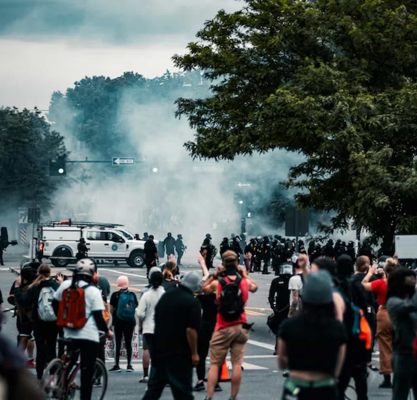
Teargas/Mob Control ![EQVIV Drone Applications: Unlocking Aerial Potential 2 arrow](data:image/svg+xml;nitro-empty-id=NDk5OjE3NQ==-1;base64,PHN2ZyB2aWV3Qm94PSIwIDAgOTggMzQiIHdpZHRoPSI5OCIgaGVpZ2h0PSIzNCIgeG1sbnM9Imh0dHA6Ly93d3cudzMub3JnLzIwMDAvc3ZnIj48L3N2Zz4=)
Tear gas drones are being utilized for teargas deployment in situations requiring riot control and crowd dispersal.

Defence/Surveillance ![EQVIV Drone Applications: Unlocking Aerial Potential 2 arrow](data:image/svg+xml;nitro-empty-id=NTEyOjE3Ng==-1;base64,PHN2ZyB2aWV3Qm94PSIwIDAgOTggMzQiIHdpZHRoPSI5OCIgaGVpZ2h0PSIzNCIgeG1sbnM9Imh0dHA6Ly93d3cudzMub3JnLzIwMDAvc3ZnIj48L3N2Zz4=)
The drone has the ability to access difficult-to-reach areas and provide real-time video feeds in border patrol and crime scene investigations, etc.
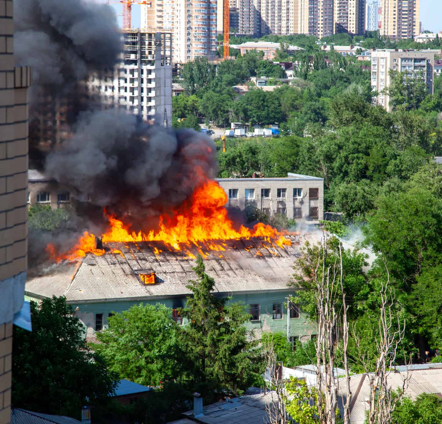
Fire Control ![EQVIV Drone Applications: Unlocking Aerial Potential 2 arrow](data:image/svg+xml;nitro-empty-id=NTI1OjE2OA==-1;base64,PHN2ZyB2aWV3Qm94PSIwIDAgOTggMzQiIHdpZHRoPSI5OCIgaGVpZ2h0PSIzNCIgeG1sbnM9Imh0dHA6Ly93d3cudzMub3JnLzIwMDAvc3ZnIj48L3N2Zz4=)
Fire Control drones are playing a crucial role in firefighting efforts by providing real-time aerial intelligence.
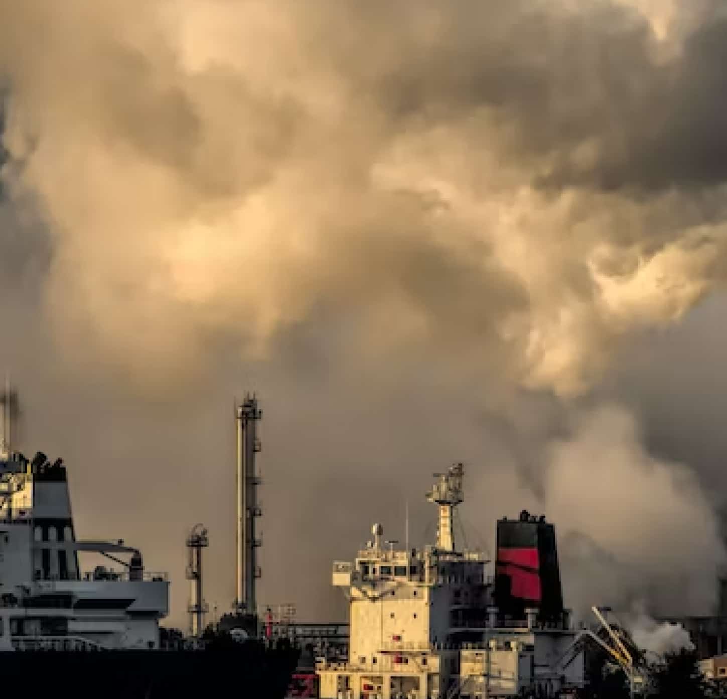
Air quality ![EQVIV Drone Applications: Unlocking Aerial Potential 2 arrow](data:image/svg+xml;nitro-empty-id=NTM4OjE2Nw==-1;base64,PHN2ZyB2aWV3Qm94PSIwIDAgOTggMzQiIHdpZHRoPSI5OCIgaGVpZ2h0PSIzNCIgeG1sbnM9Imh0dHA6Ly93d3cudzMub3JnLzIwMDAvc3ZnIj48L3N2Zz4=)
Equipped with advanced sensors, EQVIV drones can collect real-time data on various air pollutants.
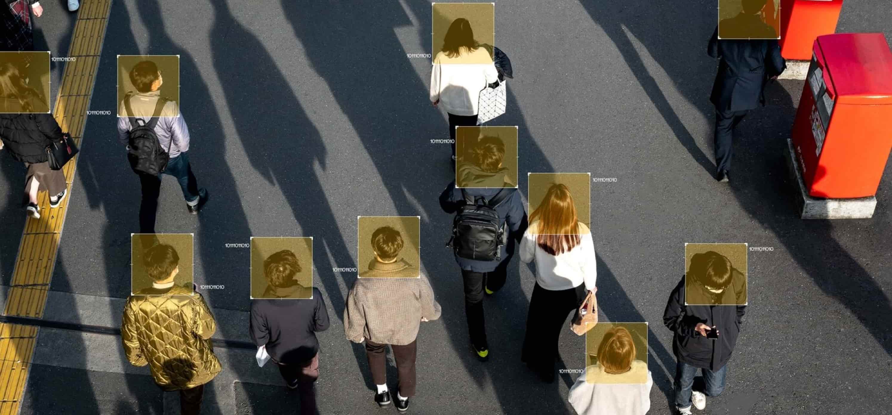
Mapping & Surveying ![EQVIV Drone Applications: Unlocking Aerial Potential 2 arrow](data:image/svg+xml;nitro-empty-id=NTUxOjE3OQ==-1;base64,PHN2ZyB2aWV3Qm94PSIwIDAgOTggMzQiIHdpZHRoPSI5OCIgaGVpZ2h0PSIzNCIgeG1sbnM9Imh0dHA6Ly93d3cudzMub3JnLzIwMDAvc3ZnIj48L3N2Zz4=)
EQVIV Mapping drones are revolutionizing mapping and surveying techniques by generating detailed aerial maps and data.